
|
Broken Bow Arch - located in Willow Gulch, off the Hole-in-the-Rock Road. It is formed of the massive Navajo Sandstone formation, and was named by a local historian who found an Indian bow beneath the arch in 1930. |
|---|---|
|
Willow Gulch - this day-hike to the Escalante River features hanging gardens and scrambles through narrow cracks. Not to mention Broken Bow Arch itself. |
|
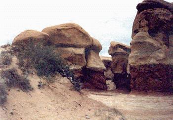
Devil's Garden is a maze of wind-sculpted rock located 13 miles down the Hole-in-the-Rock road from highway 12. |
|
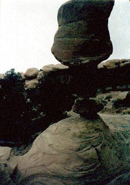
This Balancing Rock is one of the more interesting features to be found in the Devil's Garden. |
|
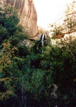
"Flashfall" in Harris Wash - rain and hailsotnes pelted our camp pretty heavily one night, causing flash floods throughout the canyon. The weather cleared a couple of hours before dawn, and when we rose in the morning, water was rushing off the canyon rim, creating a handful of transient, breathtaking waterfalls like this one. |
|
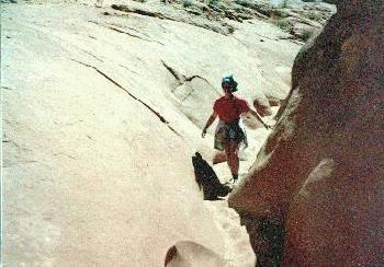
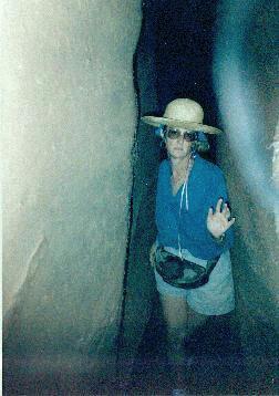
Peek-a-Boo Canyon - this is one of the many interesting little side canyons located in the Coyote Gulch Dry Fork. After an initial climb of 20 feet or so, you can follow this intricately water-sculpted dry stream-bed up to the mesa top known as the Cat Pasture. |
|
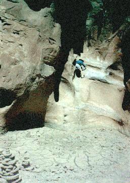
Spooky Gulch - after exiting Peek-a-Boo Canyon, you can hike across Cat Pasture to the head of Spooky Gulch. This is an extremely deep and narrow crack that descends back to the Dry Fork. We spotted 3 midget faded rattlesnakes on our climb down. |
The Escalante River Basin is managed in part by the Bureau of Land Management and the National Park Service. The BLM and NPS offices are locate about a mile west of the town of Escalante, Utah, along highway 12. More information on the area can be obtained from the BLM at PO Box 255, Escalante, UT 84726, and from the NPS at PO Box 122, Escalante, UT 84726.
