|
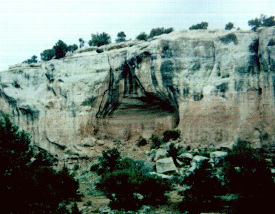
Some of the ruins in Sand Canyon, like this one, are located at a distance from the trail, and are not accessible. It's a good idea to bring a pair of binoculars along, to help you make out the features of the nearer sites, and to identify sites further away. |
|---|---|
|
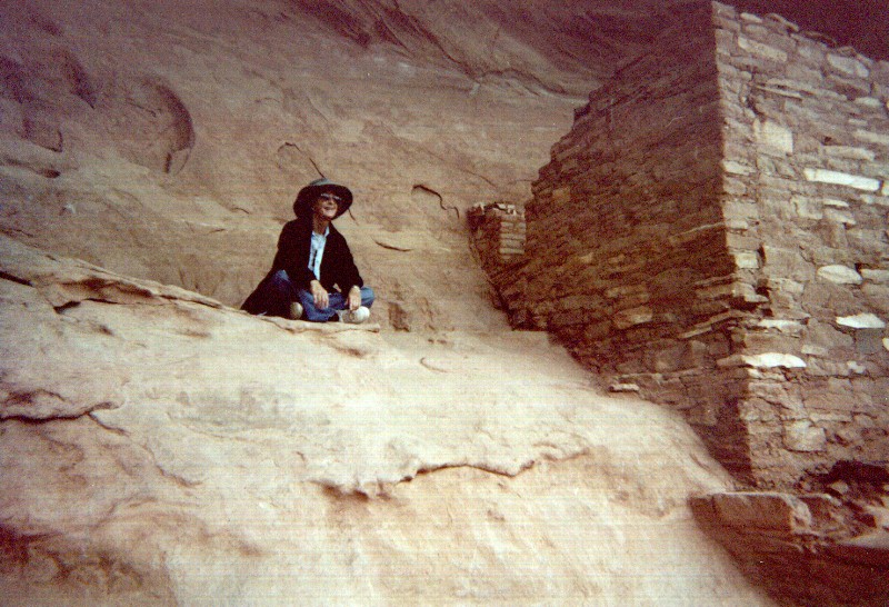
Other sites can be viewed at close range. This is a shot of Louise enjoying the same great view the Anasazi had from this particular dwelling. Click on the image for an expanded view. |
|
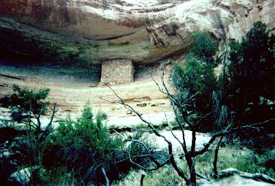
The BLM has blocked immediate access to some of the ruins along the trail, pending stabilization efforts, but you can still get close enough to appreciate the fine masonry work of the Anasazi. |
|
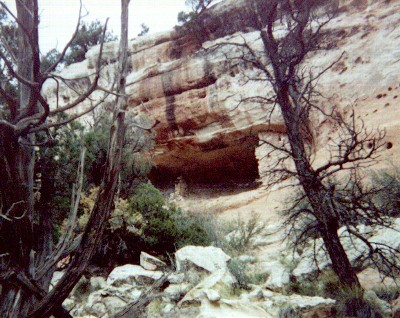
This is another ruin that is scheduled for future stabilizing. Some of the ruins survive better than others - this one has only a few wall fragments left. |
|
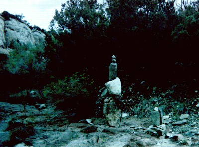
Some of the hikers and trail maintainers get a bit carried away with cairn-building, from time to time. This one, set within the stream bed, is roughly 6 feet tall. |
|
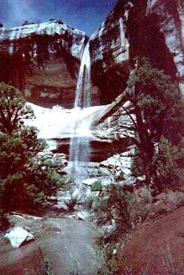
Sand Canyon is normally dry, but on this occasion we got caught in a pretty violent thunderstorm that featured marble-sized hail stones, and which lasted about an hour. The stream beds flash-flooded, and run-off from the cliffs created some pretty impressive, though transient, waterfalls. |
Sand Canyon is situated near, between and among a lot of private and tribal land. Please be courteous, and respect the "No Trespassing" signs.
